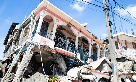
Understanding Earthquakes with Dr. Jon Nyquist
What causes earthquakes? What is plate tectonics? What does magnitude measure? Join Dr. Jonathan Nyquist, Temple University Director of General Education and the Weeks Chair of Environmental Geology in the Department of Earth and Environmental Science in Temple’s College of Science and Technology, as he explores earthquakes and the study of earthquakes. Earthquake forecasting is no simple task — there is long-term forecasting and short-term predication. Early warning is measured in seconds (which if you’re a computer controlling an electrical grid can make all the difference). To understand earthquakes on the East Coast (which do indeed happen) you also have to explore the past — the definition of an active fault is one that has moved in the past 10,000 years! The Mercalli Intensity Scale helps geophysicists of today study the earthquakes of yesterday based on written records.
Monitoring How the Earth Moves
Pennsylvania is not known for its earthquake activity, but they happen more often than you might realize. Temple University Ambler is part of a network of sites that monitors seismic activity along the East Coast of the United States in real time as part of the Lamont-Doherty Cooperative Seismographic Network. Working in coordination with scientists from the Lamont-Doherty Earth Observatory at Columbia University, the College of Science and Technology installed a broadband seismometer at the Ambler Campus. Join Dr. Jonathan Nyquist, Temple University Director of General Education and the Weeks Chair of Environmental Geology in the Department of Earth and Environmental Science and learn how Temple is monitoring how the earth moves!
Plate Tectonics Explained
You might not feel it, but the ground underneath our feet is constantly moving. Tectonic plates are carried along the currents of the upper mantle. In some locations, the plates collide, at (geologic) times causing some serious shaking, rattling and rolling. In others, they are pulling apart. This video by MinuteEarth explains how plate tectonics works.
Did You Feel It?
Have you ever felt the earth move under your feet? The U.S. Geological Survey wants to know about it! Did You Feel It? (DYFI) collects information from people who felt an earthquake and creates maps that show what people experienced and the extent of damage. At the site, you can also explore the USGS’s collection of citizen science data, report your experience of an earthquake, or learn more about this citizen science project — how it's done, how you can contribute, and what they do with your data.
Can Animals Predict Earthquakes?
You might have heard about animals behaving oddly right before an earthquake hits. But are these reports more than just anecdotes? Can you say weather cow? How about an earthquake dog or a quake toad? SciShow takes a look.
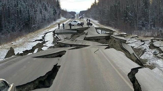
Cascadia - A Megaquake in the Making
The “Big One,” the massive earthquake that has been expected along the West Coast of the United States for decades, will one day take place. It’s only a matter of time. When it does, it will leave complete devastation in its wake. This video from Geographics explores the Cascadia Subduction Zone. Great Subduction Zone earthquakes are the largest earthquakes in the world, and are the only source zones that can produce earthquakes greater than Magnitude 8.5. The Cascadia Subduction Zone has produced magnitude 9.0 or greater earthquakes in the past, and undoubtedly will in the future. Video recommended by the Department of Earth and Environmental Science in Temple’s College of Science and Technology and used as a teaching tool in the class Disasters: Geology vs. Hollywood.